
Foto-GIS application allows you to conveniently and professionally automate your construction site
photo documentation. Save up to 80% of your time and energy.
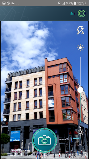
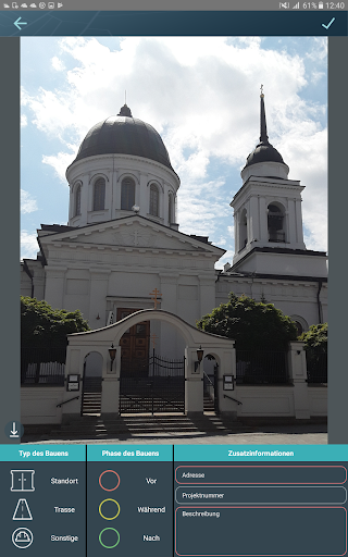
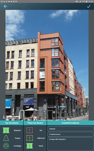
Images are automatically assigned to individual projects on the basis of the geo-coordinates (e.g
districts/ new construction areas/ construction sites/ defined GIS polygons) by means of the photo
location (GPS). However, individual construction project has to be created previously and released to
the system.
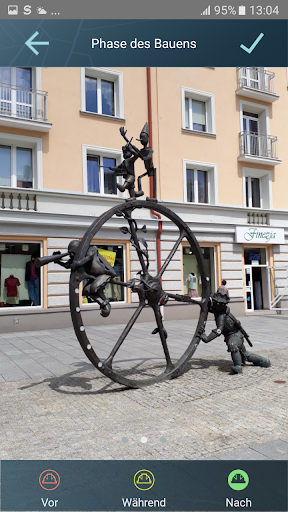
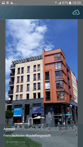
The photo is then available through the state-of-the-art GIS-based web user interface to all the users
you specify. Group rights can be assigned individually.
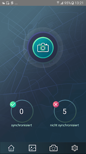
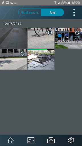
All of the photos are automatically synchronized with dedicated online archive (GIS Cloud Storage). Data are stored only on the European servers.
The photo archive collects up to 1 milion pictures and displays them precisely on the map, including the direction of the picture. The online archive is permanent and always safer than any data carrier.
Fixes:
• Fixed problems in share option for some android versions
• App does not crash anymore while uploading photos manually
What‘s new:
• Switching front and rear camera in Photo-GIS application (Selfie mode)
• Photo Tags become ordered alphabetically
• Compass calibration message
• Placeholder moves above input now


9Apps 4.9


