Professional GIS application for offline fieldwork with geodata. It provides data collection, viewing, and updating. All its features are available above a wide selection of online, offline, and WMS maps.
Fieldwork
• offline collecting and updating of field data
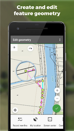
• saving points with current or arbitrary position
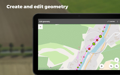
• creating lines and polygons by motion recording
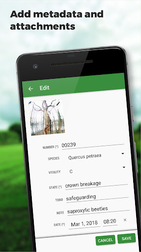
• settings of attributes
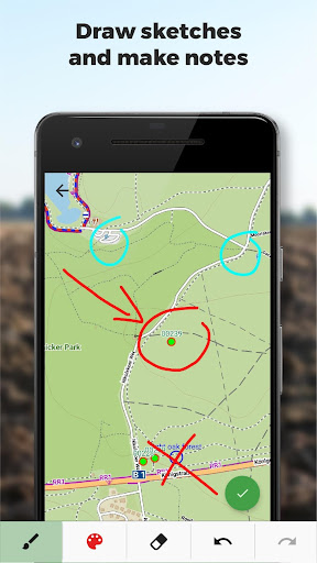
• photos, video/audio or drawings as attachments
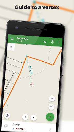
• guidance to points
• collecting location data for polygon/line recording or guidance on a target, even when the app is running in the background
Import/Export
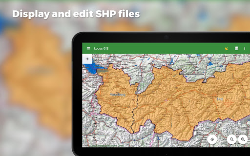
• importing and editing ESRI SHP files
• exporting data to ESRI SHP or CSV files
• exporting whole projects to QGIS
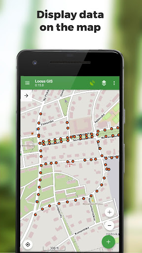
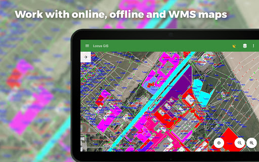
Maps
• wide range of maps both for online use and for download
• support of WMS sources
• support of offline maps in MBTiles, SQLite, MapsForge, TAR, GEMF, RMAP formats, and custom OpenStreetMap data or map themes
Tools and features
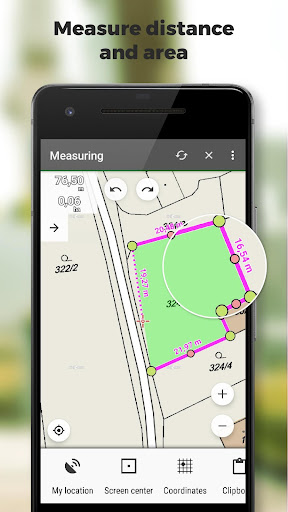
• measuring distances and areas
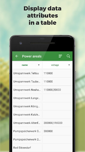
• searching and filtering of data in the attribute table
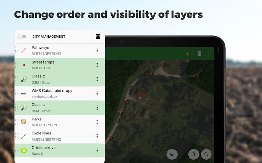
• style editing and text labels
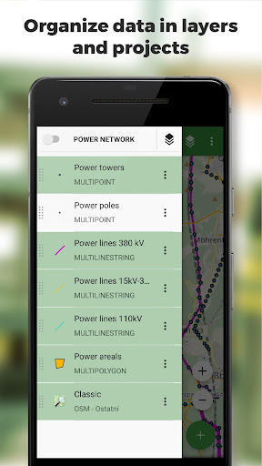
• organizing data into layers and projects
Locus GIS is successfully used in a wide range of industries:
• collection of environmental data (ecological scanning, tree surveys ...)
• forestry management and planning,
• agriculture and soil management
• gas and energy distribution
• planning and construction of wind farms
• exploration of mining fields and location of wells
• survey and management of urban facilities
• road constructions and maintenance
*** 1.21.4 ***
- add: option to add multiple independent WMS layers from one WMS service
- add: Automatic resize of photo attachments. See Settings > Miscellaneous
- chg: Improved start of application
- fix: Defunct creating of new points during recording a new line or polygon by movement
- fix: Defunct import of older project templates
- fix: Style settings screen not working on some tablets
- fix: unwanted export of deleted attributes to the template


9Apps 4.9


