
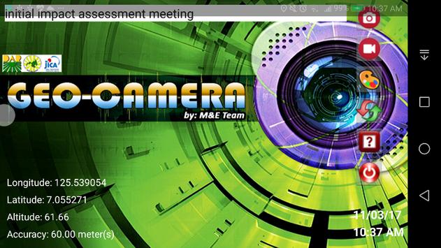
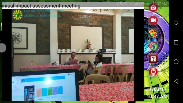
MinSAAD Geo-Camera is the process of adding geographical identification metadata to various media such as a geotagged photograph and is a form of geospatial metadata. This data usually consists of latitude and longitude coordinates, though they can also include altitude, bearing, distance, accuracy data, and place names, and perhaps a time stamp.
Geo-Camera application can help users find a wide variety of location-specific information from the captured photo. For instance, someone can find images taken near a given location by entering latitude and longitude coordinates into a suitable image search engine.
Geotagging-enabled information services can also potentially be used to find location-based news, websites, or other resources. Geotagging can tell users the location of the content of a given picture or other media or the point of view, and conversely on some media platforms show media relevant to a given location.
9Apps 4.9


![국세청 홈택스 [손택스] on 9Apps](https://go.getnew.app/sg/res/jpg/f7/df/69cc2f90120ec331db2630e0f5b6-6dh.jpg?x-oss-process=style/jmq200)


