


Thousands of top best android apps on 9Apps! 20,000+ users downloaded جهان نما مسیریاب هوشمند نسخه طلایی latest version on 9Apps for free every week! This app is intended for an adult audience. This hot app was released on 2017-08-28. Why not download and play it now?
The software version is supportive of business routing service
In case of interest paid subscription to the service of our business with the support
Otherwise, get the regular version orrery
Get the regular version orrery
What's new in version 13?
Version 13 include:
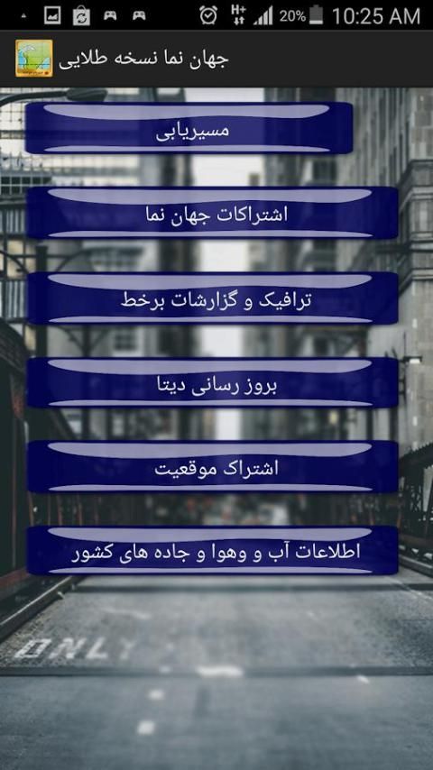
Jahan Nama Version 13
We have overcome many of the drawbacks of the previous version
Run more smoothly, sudden errors, mismatch map, lack of connecting roads etc ....
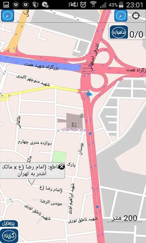
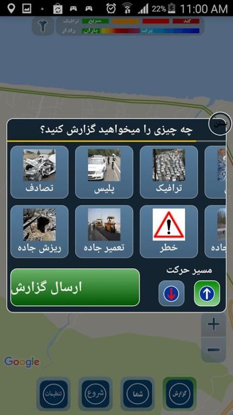
Online traffic system:
In this service you will have the traffic is quite alive
The weather announcements also will be at your disposal
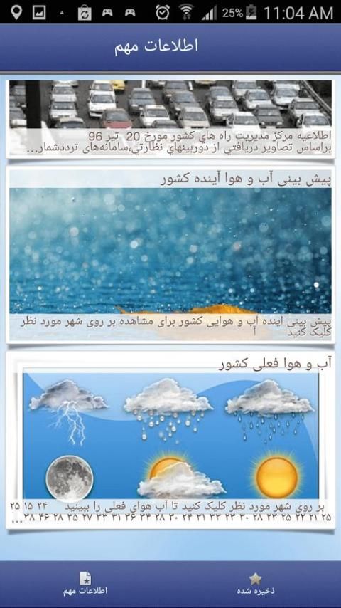
Online public information system:
If a user of one of the world facing certain thing or a certain place to see and report it orrery all users will see it on your map
Global information systems View:
Includes current weather information and weather forecasts future
Auto rate, currency, metals and other public information.
Jahan Nama-sharing system:
Including residential and tourist Facade world where users reserve a hotel or accommodation
The villa booking in northern Iran
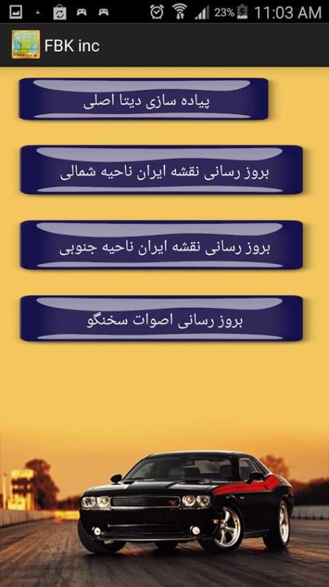
Downloads world view:
All plugins in a place called Center is located. You do not need to examine the incidence of other plugins
Subscribe situation facing the world:
Send your real-time position information includes specific Shkhzy with a single click
This version of Google Maps map - Google Maps satellite and other support Haanlayn offline
This software is a great application for finding that you can listen while driving to the warnings and speak Farsi and drive.
The first Iranian software for intelligent routing
Map of the world or country and city separately from the product are available for download
The route to the Persian spokesman with map of Iran,
Tourism guide has all the information you will know and will know the most important places,
Ability to estimate distance and route calculation for you
And download several types of maps with different dimensions and zoom as desired from within the application
With a few special modes (automobile, bicycle and pedestrian navigation, truck racing)
A few yards and meters and kilometers measuring miles
Have labels after him and the JP-ray
A smart notification system, information such as the state of the roads and traffic news etc.
Systems offer a specific location ((may be an important event occurs in the corner of the world, we position it will notify you if you want to navigate))
The ability to identify stations, public transportation, compass, Registration and recording, street names, points of transit, destination, duration of travel, speed, GPS information, speed limits, height, screws into the road and the next turn or two screws later, road marking, showing the direction of the destination, day or night the map, change the style map, showing lines of par,
Search functionality:
Parking, emergency, healthcare, public transport, barriers, tourism, entertainment, historic sites, sports, leisure time, saved locations of geographic, financial, office, administrative, educational, man-mark sea, food stores, natural resources, land use, military, Wikipedia offline,


9Apps 4.9


