
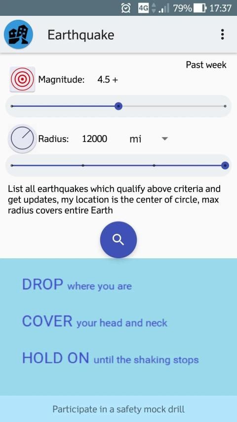
Choose magnitude 2.5+ or 4.5+ or significant, and define a circular region in which you want to know about earthquake occurrences by choosing radius between 500 - 12,000 mile, device location is the center of the circle. Time options are dependent on magnitude.
Salient Features:-
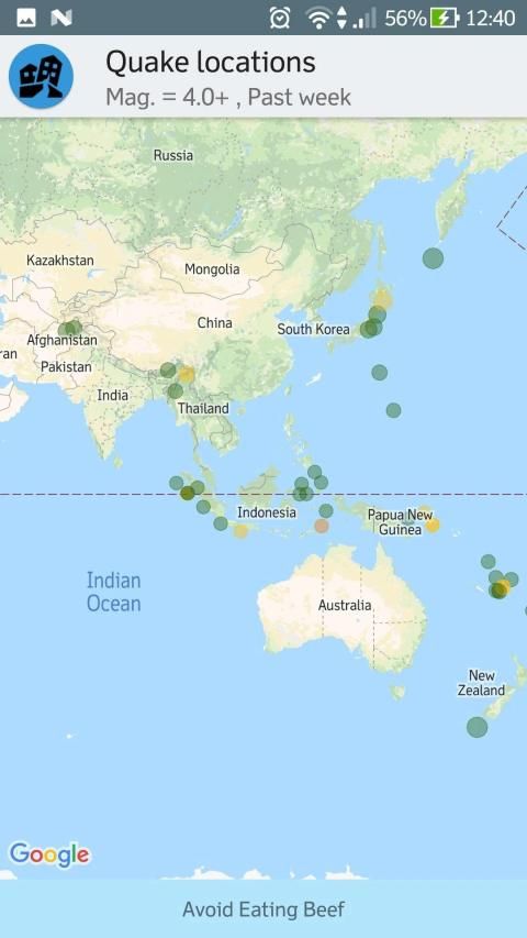
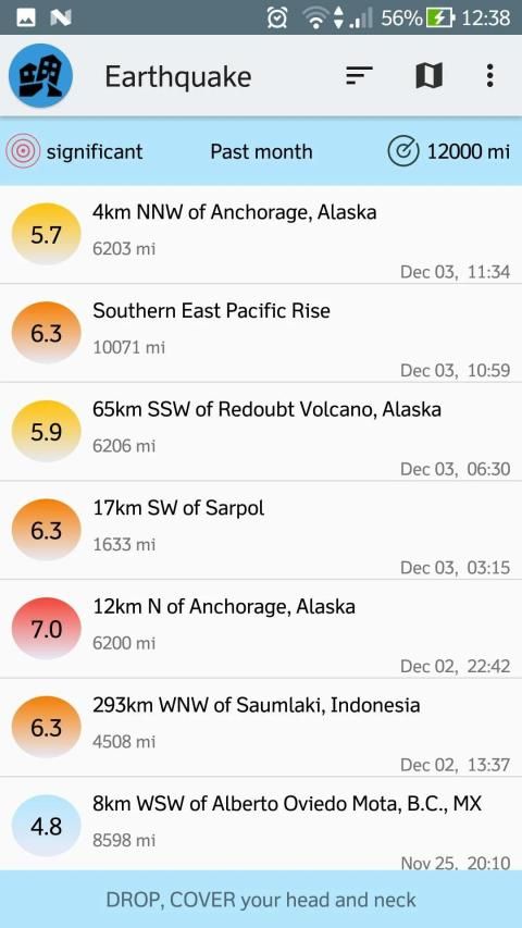
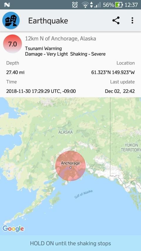
- List / map view
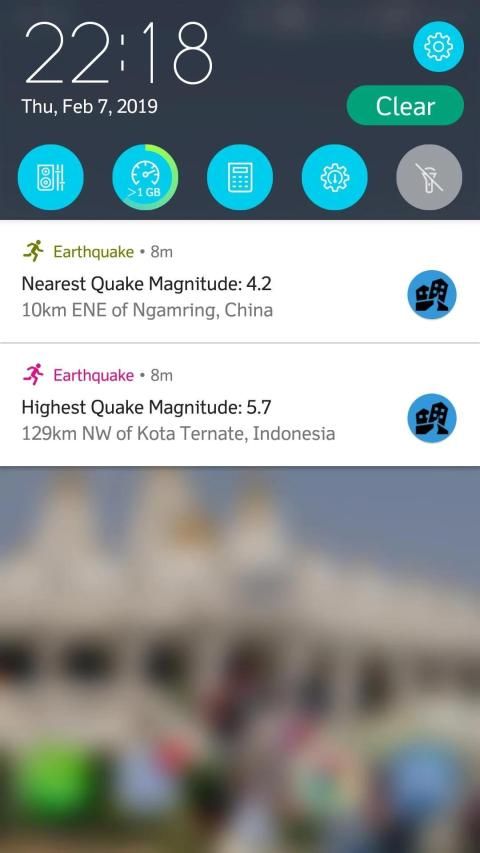
- notification shows highest and nearest quake magnitude in a defined region and time
- Share earthquake information
- Magnitude, time options: 2.5+ past day; 4.5+, past week; significant, past month
- Update time: time when earthquake data is recorded on usgs.gov.
- Real time: time in UTC when earthquake really occurred.
- time zone of the affected area
- Depth in (km/mile) and Geo-coordinates(Latitude, Longitude)
data source: US Geological Survey
Pilih magnitudo 2,5+ atau 4,5+ atau signifikan, dan tentukan wilayah melingkar yang ingin Anda ketahui tentang kejadian gempa dengan memilih radius antara 500 - 12.000 mil, lokasi perangkat adalah pusat lingkaran. Opsi waktu tergantung pada besarnya.
Fitur yang menonjol:-
- Tampilan daftar / peta
- pemberitahuan menunjukkan besarnya gempa tertinggi dan terdekat di wilayah dan waktu yang ditentukan
- Bagikan informasi gempa bumi
- Magnitude, opsi waktu: 2,5+ hari yang lalu; 4.5+, minggu lalu; signifikan, bulan lalu
- Pembaruan waktu: waktu ketika data gempa bumi dicatat di usgs.gov.
- Real time: waktu dalam UTC saat gempa benar-benar terjadi.
- zona waktu area yang terkena dampak
- Kedalaman dalam (km / mil) dan Geo-koordinat (Latitude, Longitude)
sumber data: US Geological Survey
Notification shows nearest quake info also.
9Apps 4.9


![How to Enable Earthquake Alerts on Android [QUICK GUIDE] screenshot 3](https://i.ytimg.com/vi/jGGnnhIy8_E/mqdefault.jpg)


