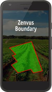
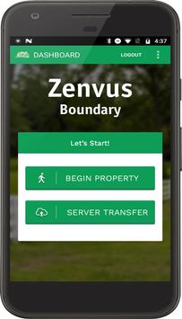
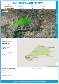
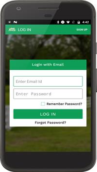
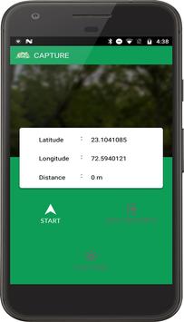
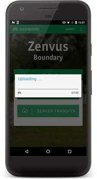
Zenvus Boundary maps farm, land or house perimeter boundaries, calculates the areas and populates the data onto Google Earth. From Zenvus portal, the surveys can be downloaded or printed. It supports cooperatives, governments and individual farmers, enabling these entities to have survey reports at a fraction of the typical cost of surveys.
Property owners (farmers, landlords, home owners, etc) can do this without any external help. And when done, register with their cooperatives which help them ratify the boundaries with governments. We use this to formalize farmlands and properties, enabling financial inclusion like agro-lending, using farmlands as collateral.
A farmer upon using Zenvus Boundary can download a PDF of the farm boundary report in Zenvus account. The Zenvus Boundary also enables cooperatives or unions to have their logos and names emboldened in the reports for each member farm.
There is a public search for current Zenvus Boundary records here: https://boundary.zenvus.com/propertysearch
For manuals and other details, visit the app page https://www.zenvus.com/products/boundary/
9Apps 4.9