
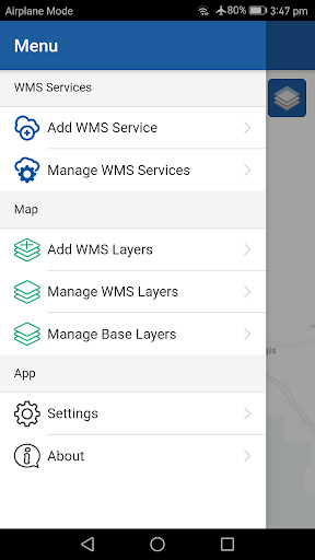
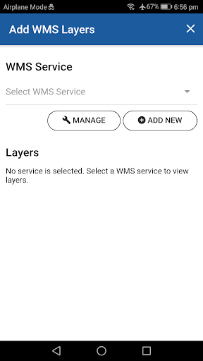
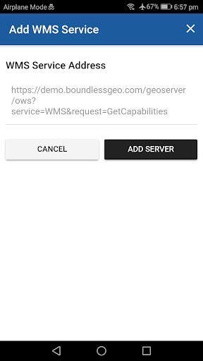
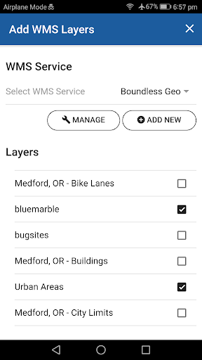
- Add layers from multiple WMS sources
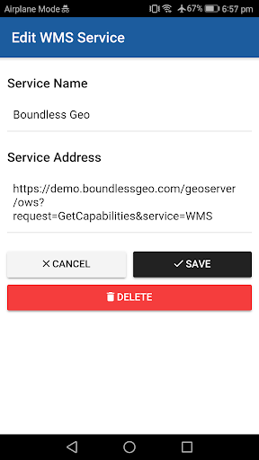
- Save WMS connections
- Test WMS connections
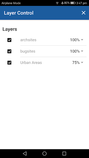
- Configure WMS layer opacity
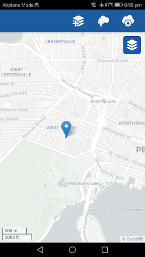
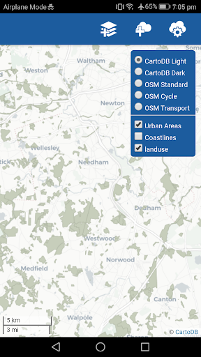
- OSM and CartoDB base map supports
- Find user location
User can rearrange the order of layers
Allow user to remove a layer from the map (swipe to delete a layer from the layer list)
9Apps 4.9